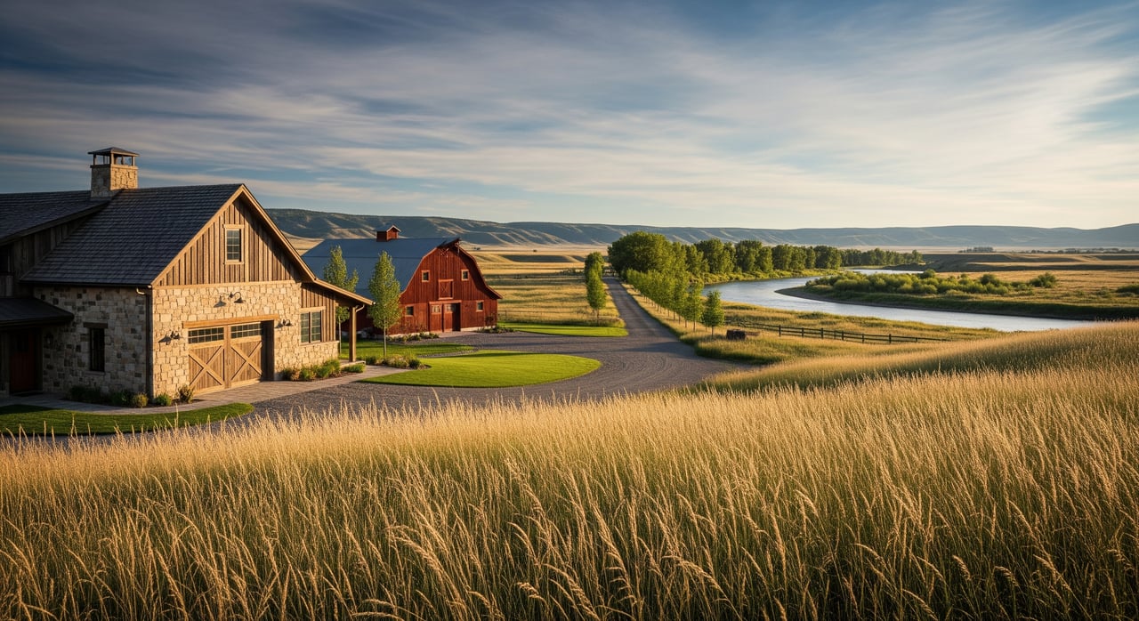
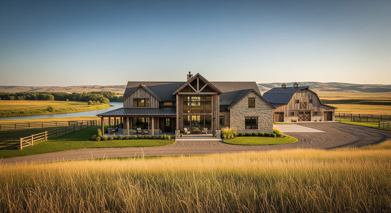
Thinking about selling acreage near Roundup, Montana? You already know rural land is different from a city lot. Access can change with the season, water rights can drive value, and buyers want clear, factual details before they make the trip. This guide lays out our step-by-step plan to prepare, market, and sell your acreage with confidence. You will see exactly how we price, document water and access, produce drone and mapping media, and syndicate your listing to the channels acreage buyers actually watch. Let’s dive in.
Pricing that fits Roundup acreage
Local value comes from more than a simple price-per-acre. We evaluate acres, irrigated versus dryland, water rights, improvements, soils, access, topography, views, conservation enrollments, mineral rights status, and taxes. We pull comparables from MLS across Musselshell County and nearby counties and confirm land and tax data with county records. That mix of data gives you a pricing target grounded in the Roundup market, not a generic statewide trend.
We also profile likely buyers for your property. Agricultural operators look for water rights and productivity. Lifestyle and recreational buyers focus on access, privacy, and habitat. Buyers near town often want proximity to services and utilities. Your pricing and narrative should speak to those needs.
On-site evaluation checklist
We start on the ground with a structured walk-through to build a clear, buyer-facing story about your land.
Access and boundaries
- Verify legal access and record any easements. Collect deed language and recorded documents from county records.
- Note seasonal factors like spring mud, winter plowing, bridge limits, and any gated roads.
- Confirm boundary markers. Recommend a survey if lines are unclear or a split is planned.
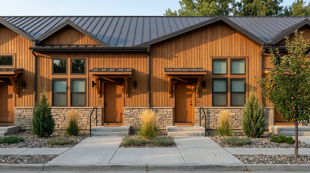
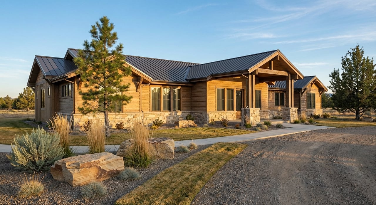
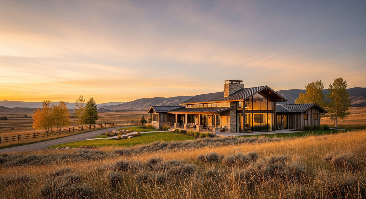
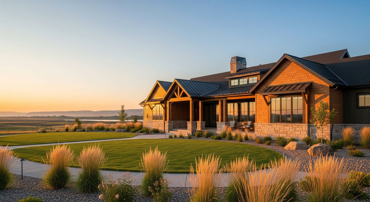
Improvements and functional condition
- House: age, roof, foundation, utilities, septic history, heating fuel, and maintenance records.
- Outbuildings: barns, sheds, corrals, working pens, and overall condition.
- Fencing: type, coverage, recent repairs, and stock-proof status.
- Roads and drives: surface, drainage, washouts, and gate function.
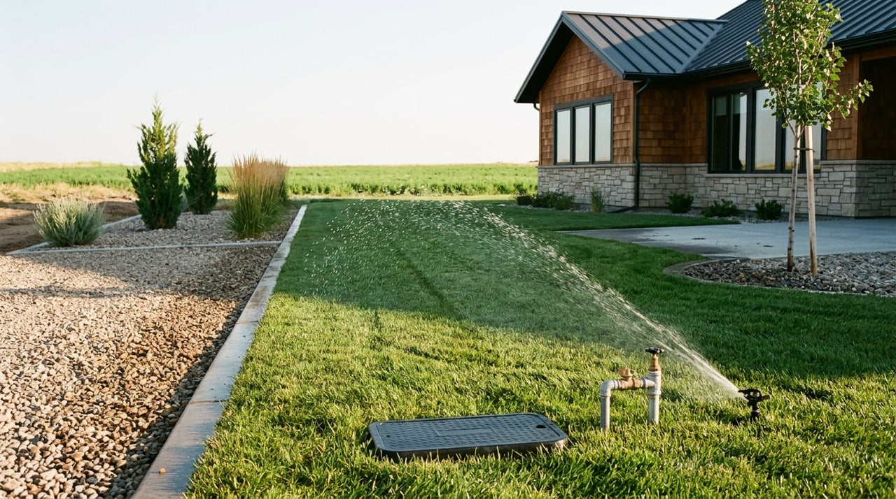
Utilities and services
- Electrical availability and capacity, including distance to service and ag power needs.
- Communications: cell coverage and internet options such as satellite or fixed wireless.
- Septic: location, capacity, last inspection, and any known issues.
Environmental and land capability
- Soils and productivity using the USDA Web Soil Survey for pasture and crop potential. Review the Web Soil Survey at the USDA Web Soil Survey and supporting resources from the NRCS.
- Topography, erosion concerns, wildlife habitat, and any floodplain or wetland indicators.
- Wildfire risk and defensible space around improvements.
Legal, title, and fiscal
- Deed and legal description, mineral rights status, and tax history.
- Conservation easements, CRP or other enrollments, and related obligations.
- Any known Musselshell County land-use limitations.
Immediate safety items
- Livestock handling protocols, hidden hazards, and safe gate procedures for showings.
Water and irrigation documentation
In Montana, water access and water rights often drive buyer interest and price. We assemble a complete, verifiable water file.
What we collect and verify
- Well logs and permits from the Montana Bureau of Mines & Geology Ground Water Information Center and DNRC records. Access well data via the MBMG GWIC.
- Water rights abstracts for surface and groundwater showing priority date, source, place and purpose of use, and amounts. Find water rights resources with the Montana DNRC Water Resources Division.
- Irrigation district or ditch company maps, assessment history, bylaws, turn allocations, and delivery points.
- Pump and irrigation equipment data, including flow tests, power and age, and maintenance records.
Practical assessments buyers expect
- Clear map of irrigated versus dryland acres, including pivots, headgates, and laterals.
- Recent domestic well pumping test and irrigation flow test when water reliability is a key selling point.
- Notes on adjudication status or transfers in process to anticipate closing steps.
Drone and mapping media that sell land
Acreage buyers want to see the land’s shape, access, water features, and improvements from above. We produce media that answers those questions at a glance.
- Compliance and safety: We use a Part 107 certified and insured operator under FAA rules. Review the FAA’s guidance for commercial drone work at the FAA Part 107 commercial operators page.
- Deliverables: high-resolution ground photos, oblique and top-down drone stills, a 30 to 90 second drone video with on-screen callouts, and an orthomosaic aerial map. We also provide a parcel overlay showing boundaries, access routes, and irrigated areas.
- Workflow: we schedule flights when light and wind favor smooth footage and accurate mapping. Typical turnaround is 24 to 72 hours for photos and video and up to a week for orthomosaic production, depending on acreage size.
Access notes and safe showings
Rural showings can be complex. We set clear expectations in the listing and for every appointment.
- Gate codes, lockbox procedures, and whether gates will be propped open or kept locked.
- Road maintenance and winter plowing notes.
- Short-term restrictions for animal handling or biosecurity on operating ranches.
- Escort requirements for initial showings on larger tracts.
- Pre-qualification for acreage showings so only serious buyers occupy your time.
Listing packet buyers receive
We assemble a complete packet so buyers and agents can make informed decisions without repeated back-and-forth.
- Seller disclosures and a recent survey or plat map
- Parcel tax statements and history
- Title summary plus recorded easements and rights-of-way
- Well logs, pump tests, and DNRC water right abstracts
- Septic inspection or system permit
- Recent photos, drone imagery, orthomosaic, and parcel overlay files
- NRCS soil maps and any pasture or crop yield records
- Deed language on mineral rights and any reservations
- Lease documents for grazing, crop, or CRP and related income statements
Where we market your acreage
Our goal is to meet buyers where they search and deliver the detail they value.
- MLS for core agent traffic and broad syndication
- Major land portals that focus on ranch, recreational, and acreage buyers
- Social media with interest-based targeting and short-form video
- Email marketing to buyers who have asked for Musselshell County acreage
- Local outreach through Roundup-area newspapers, community boards, and roadside signage
- Agent-to-agent networking across Billings, Lewistown, and Bozeman
Launch timeline you can plan around
- Week 0: On-site evaluation; collect deeds, tax info, water documents; confirm drone permissions.
- Week 1: Order survey if needed; pull well logs and water abstracts; schedule septic and well tests if you plan to provide them.
- Week 1–2: Drone flights and ground photography; produce soils and GIS maps.
- Week 2: Finalize listing packet and disclosures; prepare MLS and land portal inputs.
- Launch day: MLS live, syndication, social rollout, and targeted email blast.
- First 2–4 weeks: Active agent outreach, targeted ads, and private showings by appointment.
Risks we solve before launch
- Unclear access or easements: order a current title report and a survey if boundaries are disputed or a split is planned.
- Water rights ambiguity: pull DNRC abstracts early and schedule pump and flow testing if water drives value.
- Drone liabilities: fly with a certified, insured pilot and notify neighbors or livestock handlers to reduce stress.
- Overpromising: avoid claims about yields or subdivision potential unless documented.
- Incomplete disclosures: confirm mineral rights, conservation easements, and any enrollments before marketing.
What you can expect from us
You get owner-led accountability, steady communication, and a systemized process built for rural listings. We combine local knowledge across Roundup and the Billings region with practical tools that save time and protect value. Our promise is simple: clear steps, complete documentation, and marketing that reaches the right buyers with the information they need.
Ready to see where your acreage fits in today’s market? Request a custom valuation and a property-specific plan.
Request a custom valuation and timeline: Contact Carey Chapman for a property-specific valuation and a step-by-step listing timeline tailored to your acreage in Roundup. Provide your parcel number or legal description and preferred contact method to get started.
FAQs
What documents do I need for Montana water rights when selling acreage in Roundup?
- Gather DNRC water right abstracts, well logs from the MBMG GWIC, any ditch company records, and recent pump or flow tests so buyers can verify source, priority date, and volumes.
How do you confirm legal access for a rural Roundup property before listing?
- We review the deed and recorded easements, verify road type and maintenance responsibilities, and recommend a survey when boundaries or access routes are unclear.
What drone media do you include for an acreage listing in Musselshell County?
- Expect high-resolution photos, oblique and top-down aerials, a short feature video, and an orthomosaic with a parcel overlay, captured under FAA Part 107 rules by a certified pilot.
How do you market Roundup acreage to the right buyer profiles?
- We tailor messaging to water, access, and improvements, then syndicate through MLS, specialized land portals, targeted social ads, email to interested buyers, and agent networks across central Montana.
What listing timeline should I expect for preparing a Roundup acreage property?
- Plan on two weeks for document collection, tests, and media, then launch with MLS and targeted channels, followed by two to four weeks of active outreach and private showings.
Do I need a new survey before selling acreage in Musselshell County?
- If boundaries are unclear, disputed, or you plan to split the parcel, a new survey is recommended so buyers can rely on accurate lines and access routes.