How To Compare Billings Neighborhoods As A Homebuyer
June 4, 2026
June 4, 2026
Trying to compare Billings neighborhoods can feel simple at first, until you realize each part of town offers a very different day-to-day experience. You are not just choosing a home. You are choosing commute patterns, errand routes, park access, and the kind of surroundings that fit your routine. This guide will help you compare Billings neighborhoods in a practical way so you can narrow your search with more confidence. Let’s dive in.
When you compare neighborhoods in Billings, it helps to focus on the factors that shape everyday life the most. In this market, four filters stand out: housing pattern, commute route, everyday convenience, and parks and trails.
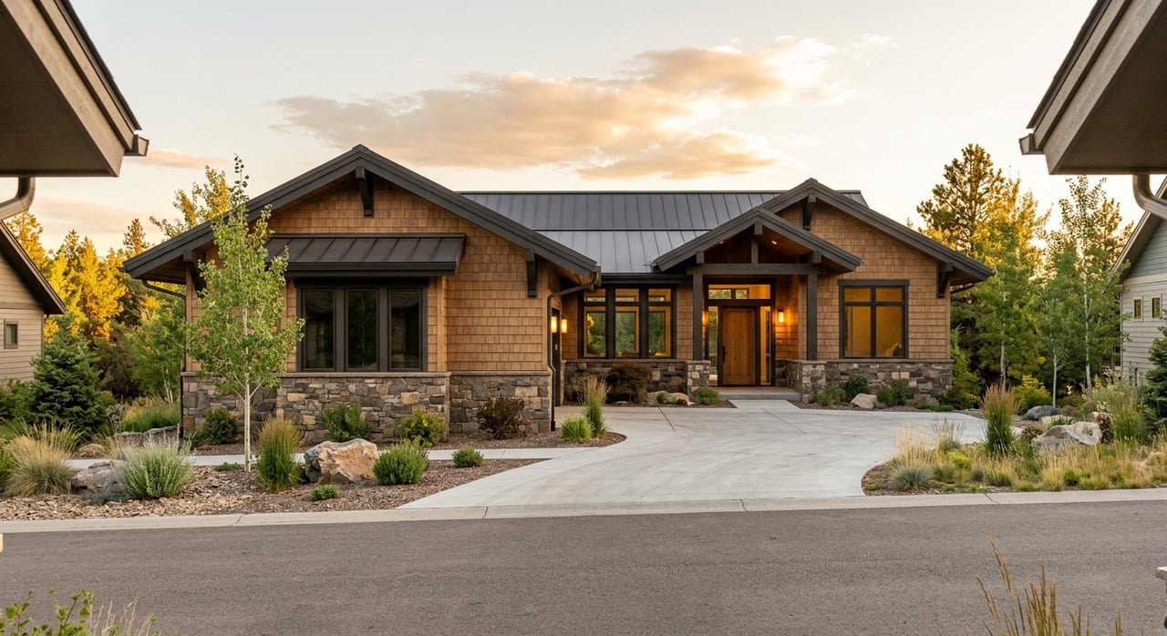
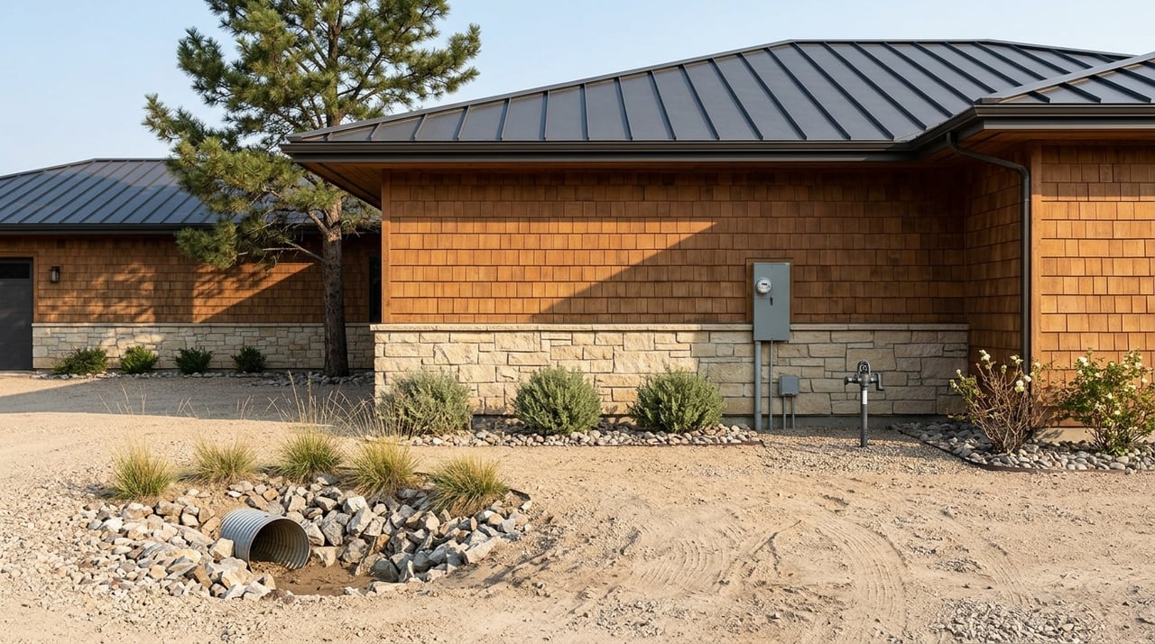
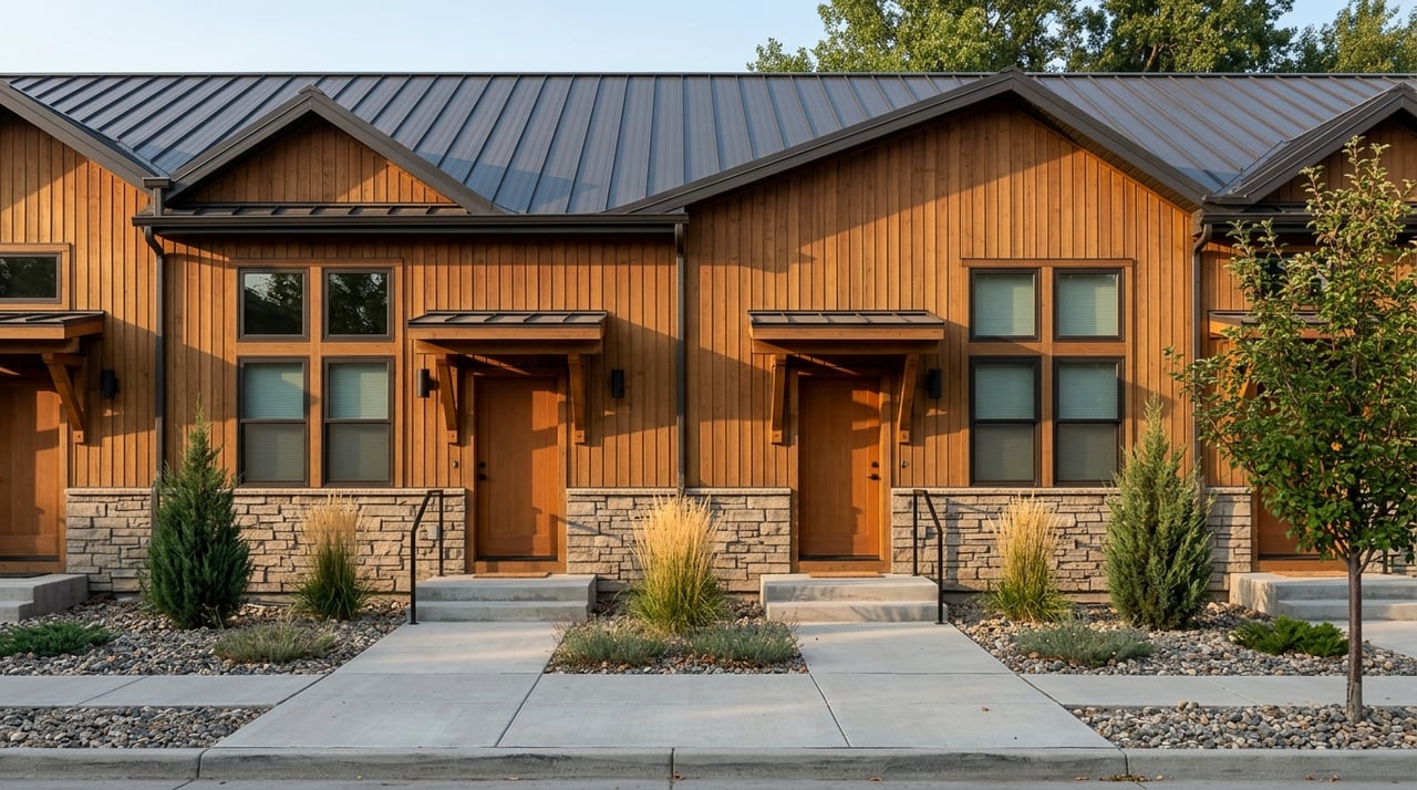
Housing pattern matters because Billings includes older established areas, mixed-housing districts, and newer edge-of-city subdivisions. That means the look, density, and land use can change a lot from one area to another.
Commute route is especially important in Billings. Many buyers find that the better question is not how many miles a home is from work or errands, but which corridor they will use most often, such as I-90, Grand Avenue, Main Street, 27th Street, or downtown access.
Everyday convenience is another major difference maker. Some parts of Billings are centered around large retail clusters, while others lean more toward downtown shops, corridor businesses, or mixed-use blocks.
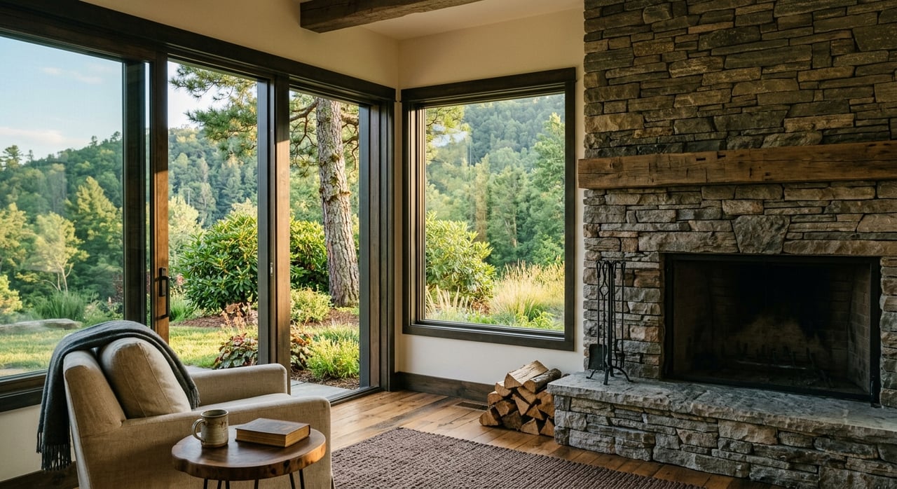
Parks and trails also shape how a neighborhood feels. Billings maintains park and trail resources, a bikeway and trail map app, and an active trail-planning program, so outdoor access can be a meaningful part of your search.
West Billings is generally defined in current city planning work as the area west of 24th Street, south of the Rims, and north of I-90. According to the city’s draft plan, this area includes neighborhoods, commercial areas, agricultural land, and natural areas.
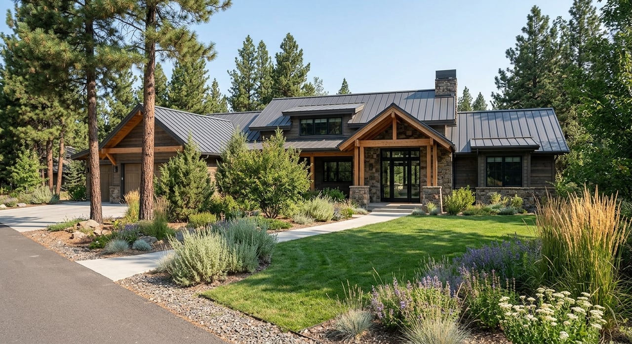
One reason many buyers focus on the West End is growth. Since the 2001 plan, the population in West Billings has more than doubled, and the number of dwellings has more than tripled, with continued expansion in neighborhoods, commercial areas, and infrastructure.
If you are looking for an area associated with newer suburban growth, the West End often stands out. The city’s planning documents support that impression through the area’s significant expansion in housing and infrastructure.
This area can be practical if you expect to use Grand Avenue, Shiloh, or I-90 often. MET routes in the area include the North Westend Circulator and South Westend Circulator, which adds another layer of mobility for some buyers.
For shopping and errands, the West End is a major retail district. Local visitor information identifies Rimrock Mall, Shiloh Crossing, West Park Promenade, and large-format retail as major anchors in this part of town.
Nearby park options include Yellowstone Family Park, Rimrock West Park, and Copper Ridge Park. These spaces offer neighborhood-style amenities such as trails and playground areas that may matter if outdoor time is part of your weekly routine.
The Heights has grown both residentially and commercially since it was annexed into the City of Billings in the 1980s. The neighborhood plan describes a wide range of zoning, including low-density single-family, high-density multi-family, and commercial uses.
That mix can surprise buyers who assume the Heights feels uniform. In reality, it includes established residential pockets, commercial stretches, and ongoing infill pressure along some major roads.
If you want variety in housing types, the Heights may deserve a closer look. The area has a more mixed pattern than some buyers expect, which can give you more options depending on your price point and property goals.
Main Street is the key north-side corridor in the Heights. MET serves the area with Heights to Downtown service and East Heights and West Heights circulators, and the city notes that the area has seen major transportation improvements since the original 2006 plan.
For daily errands, the Heights tends to be more corridor-based than mall-centered. Services and businesses are concentrated along Main Street rather than around one large shopping district.
The Heights includes several well-known recreation assets. Castle Rock Park, Lake Elmo State Park, and Swords Park are all notable options, and Lake Elmo is a 64-acre reservoir within Billings city limits.
Downtown Billings is the city’s most mixed-use district. The Downtown Billings organization describes it as an area of more than 18 city blocks that includes retail, businesses, restaurants, venues, residential properties, public art, and historic landmarks.
If you want a neighborhood with a more urban day-to-day feel, this part of Billings may stand apart from outer neighborhoods. The Downtown Billings Partnership also notes a priority on mixed-use development and housing.
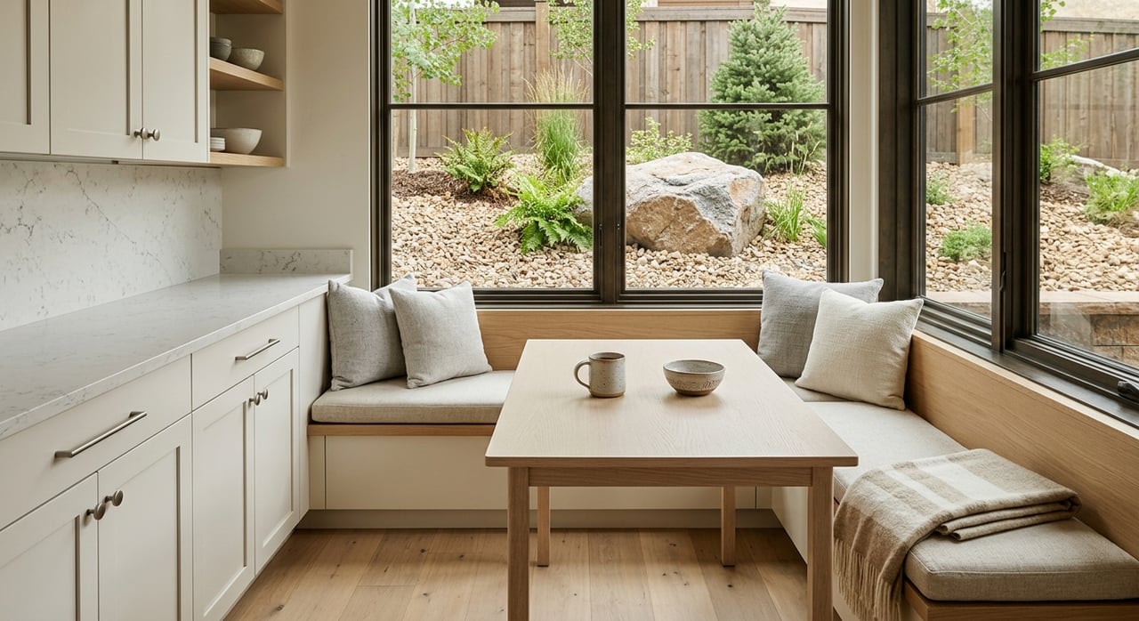
In the inner core, you are more likely to see smaller-lot, condo-style, apartment-style, and mixed-use living options than in many outer areas. That makes downtown and midtown worth comparing if you want a different housing format than a typical subdivision setting.
MET routes include the Downtown Circulator and Midtown route. The city has also studied downtown traffic circulation, and on-street parking downtown is meter-managed.
For errands and entertainment, downtown is a major local hub. It is known for boutiques, galleries, specialty retail, restaurants, and entertainment in a denser setting than other parts of Billings.
Riverfront Park provides about seven miles of trails along the Yellowstone River. Pioneer Park adds another recreation option with paved jogging trails, tennis courts, a disc golf course, and a wading pool.
The South Side is one of Billings’ oldest neighborhoods. The neighborhood plan describes it as a triangular historic residential area with railroad tracks to the north and a mix of commercial and industrial uses nearby.
The same planning material notes that some of the city’s oldest and historic homes are located there. If you are drawn to a more established neighborhood fabric, that can make the South Side especially interesting.
Among the core neighborhoods in this guide, the South Side has the clearest historic residential character. Buyers who value older homes and a long-established setting often put this area on their list.
MET includes a Southside route serving this part of town. The neighborhood also remains part of the city’s active planning framework, which means it continues to be part of broader local planning conversations.
From a convenience standpoint, the South Side benefits from its central location. Its proximity makes downtown dining, shopping, and services part of the practical everyday picture for many buyers.
City planning material identifies South Park as one of Billings’ oldest and most significant community spaces. The same material also describes the South Side as rich in community assets.
Once you know the broad feel of each area, it helps to compare neighborhoods the same way each time. A simple checklist can keep your search focused and prevent small details from overshadowing the bigger picture.
Test the roads you would actually use instead of relying only on a map pin. In Billings, the better comparison is often the corridor itself, whether that is I-90, Grand Avenue, Main Street, 27th Street, or downtown access.
Think about where you prefer to do everyday shopping and services. You may want a large retail district, a Main Street business corridor, or a downtown mix of smaller shops and restaurants.
If you enjoy walking, biking, river access, or regular park time, compare nearby options closely. Billings has a broad network of parks and trails, and the city is actively planning for stronger connections between major destinations.
West Billings, the Heights, and the citywide Billings2045 effort are all part of current planning work. That matters because neighborhood conditions can continue to evolve, especially in areas seeing more growth or infrastructure discussion.
Billings has an active local planning framework that includes neighborhood plans, transportation studies, task forces, and the citywide Billings2045 land-use effort. For buyers, that means neighborhood comparison is not only about what exists today, but also about how an area may continue to develop.
The city’s trail-planning update is a good example. It is intended to better connect the Rimrocks, Yellowstone River, historic downtown, neighborhood parks, shopping destinations, and other community assets, which can affect how people move around and use different parts of town over time.
That does not mean you need to predict every future change. It simply means you should ask whether you want a more established setting, a more mixed area, or a part of town that is still seeing visible growth and planning activity.
If you want help comparing specific neighborhoods, home styles, or commute patterns in Billings, Carey Chapman can help you sort through the options with clear local guidance and a practical plan for your search.
Stay up to date on the latest real estate trends.
Trust her to guide you through Billings real estate with care, insight, and reliable service. With local knowledge and a client-first approach, she ensures your journey is smooth, confident, and rewarding.